La Crosse-based drone services
Drone roof inspections and site documentation in La Crosse.
I'm Zach, the owner and remote pilot behind Driftless Thermal Services. I help contractors, property managers, and building owners get clear aerial photos, thermal imagery, and organized site records without adding another layer of corporate back-and-forth.
Core services
The work I’m set up to do well
Not sure whether you need thermal or visual roof documentation? Compare the drone roof inspection options.
These are the services I am actively set up to provide for building owners, contractors, property managers, and facility teams in the La Crosse area.
Thermal roof scans
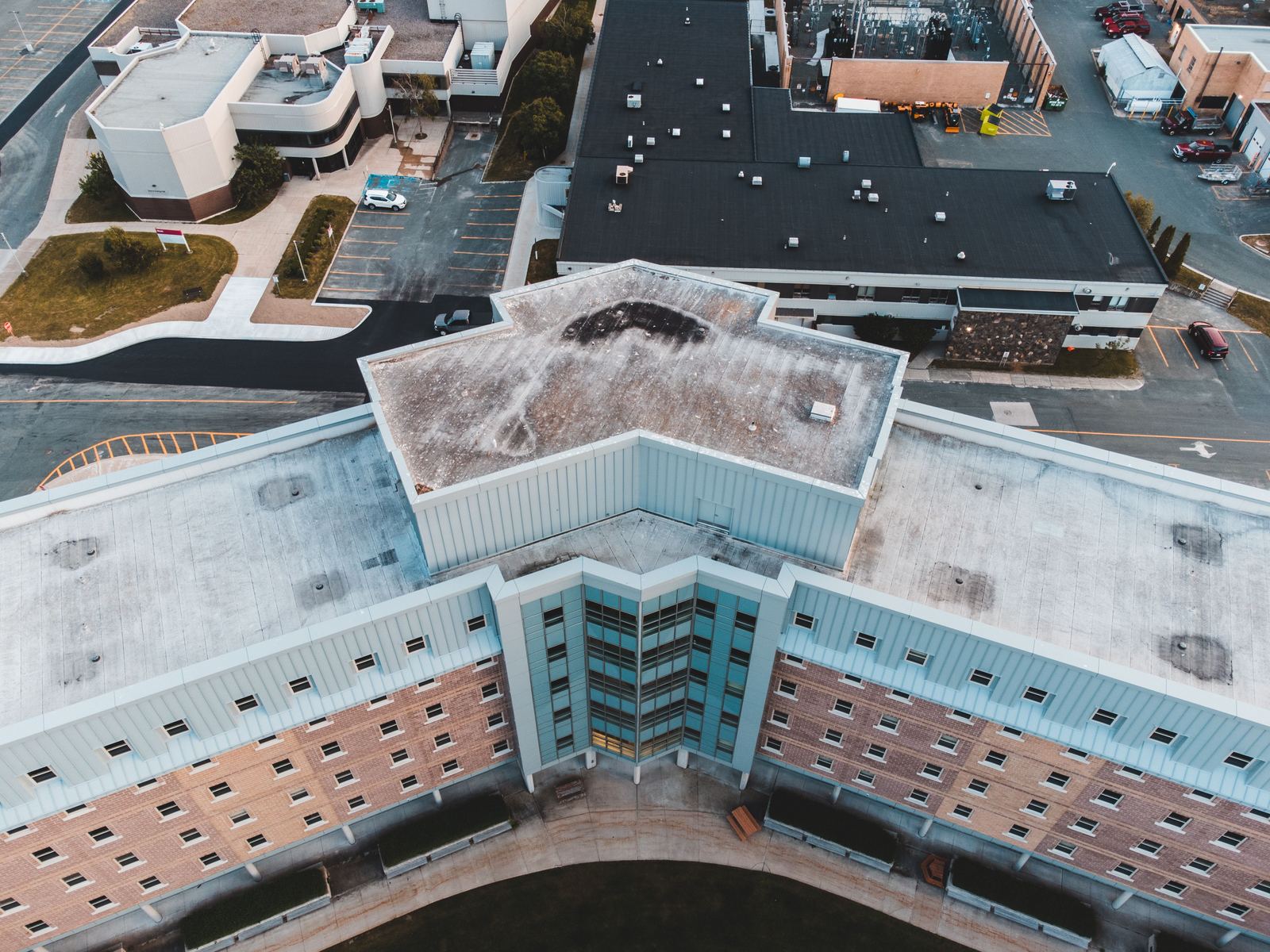
Thermal and standard images of low-slope and commercial roofs, with likely anomalies organized for follow-up by your roofer or facility team.
Solar panel thermal inspections
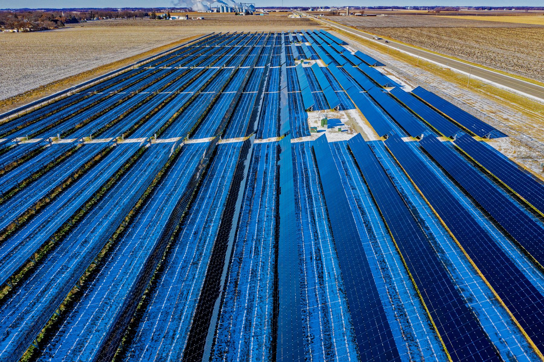
Thermal and standard images that help owners and installers locate unusual temperature patterns for qualified electrical follow-up.
Visual roof documentation
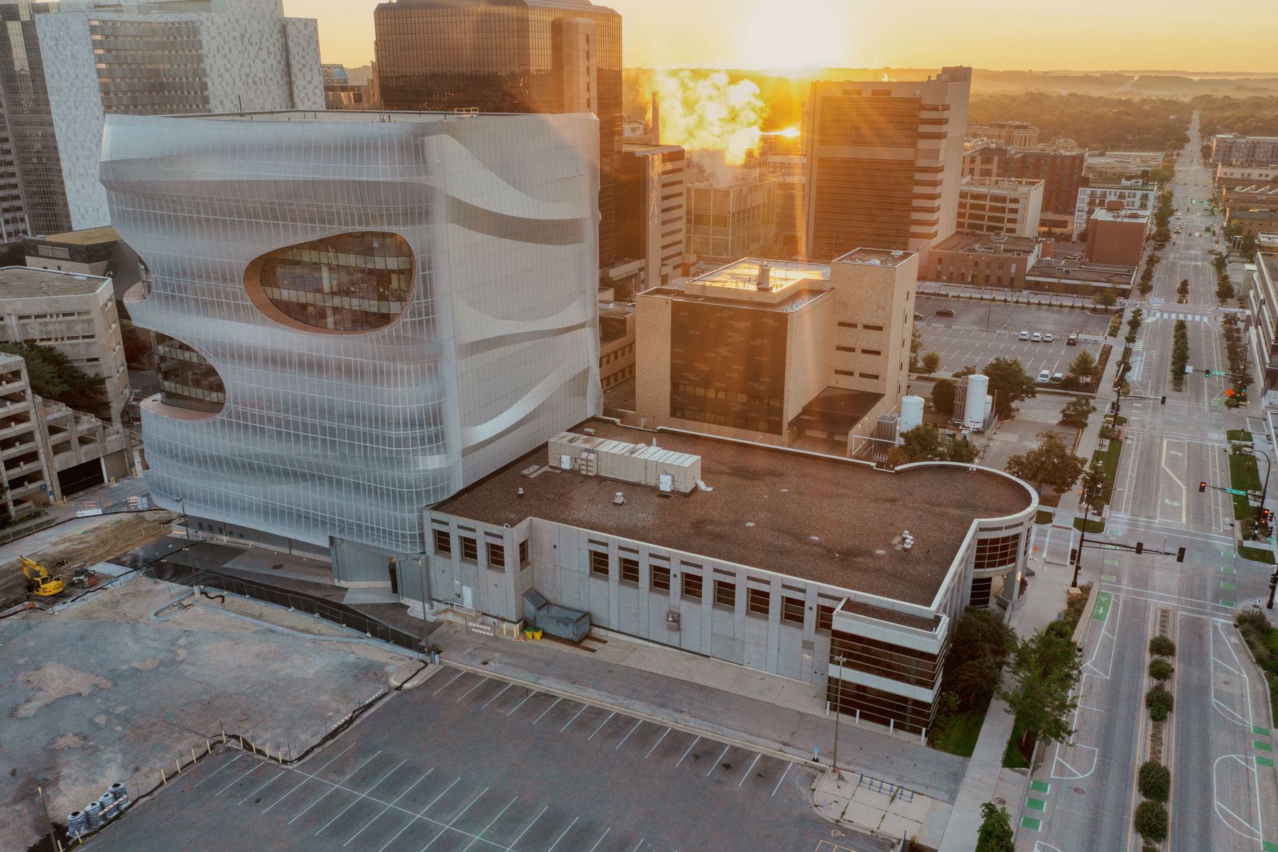
Detailed overhead and oblique photographs for maintenance records, pre-bid review, storm follow-up, and hard-to-see roof areas.
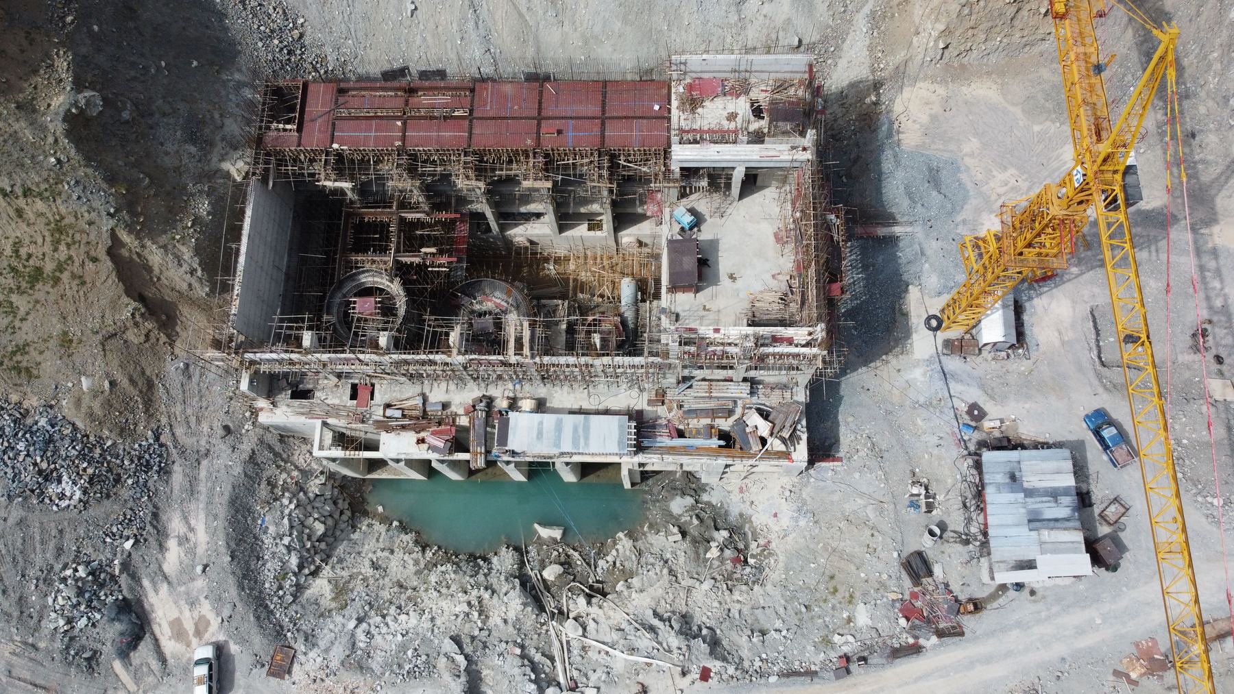
Construction progress photos
Repeatable viewpoints and date-organized files for owners, contractors, lenders, and project updates.
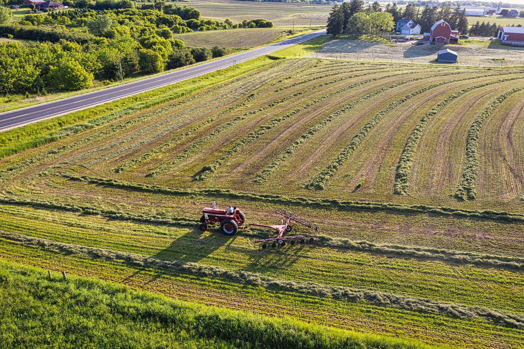
Aerial maps and site records
Stitched overhead imagery for planning, site documentation, roof layouts, and general project reference.
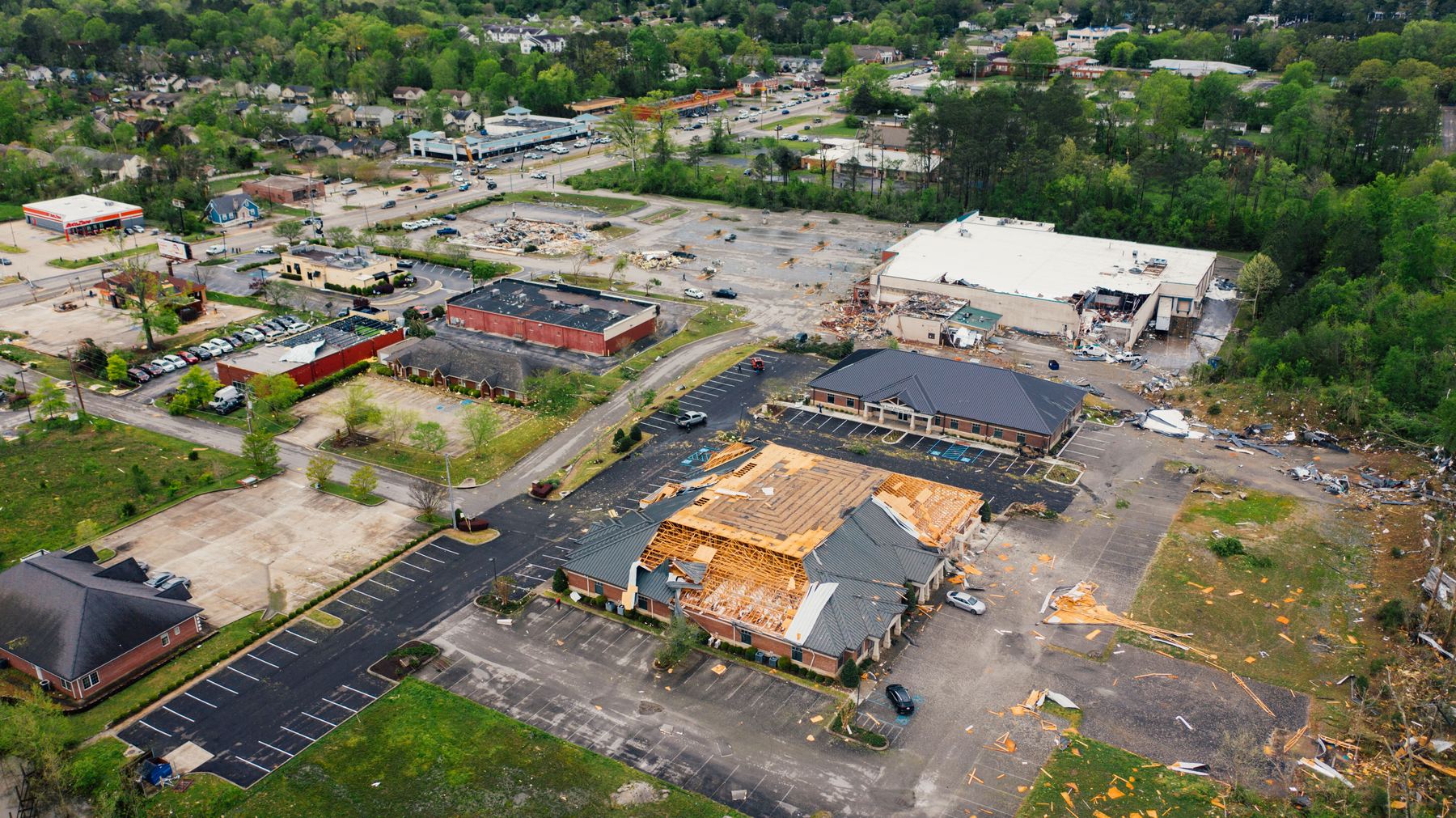
Storm & insurance roof documentation
Dated aerial photos of roof surfaces and visible storm-related conditions for property records and insurance follow-up.
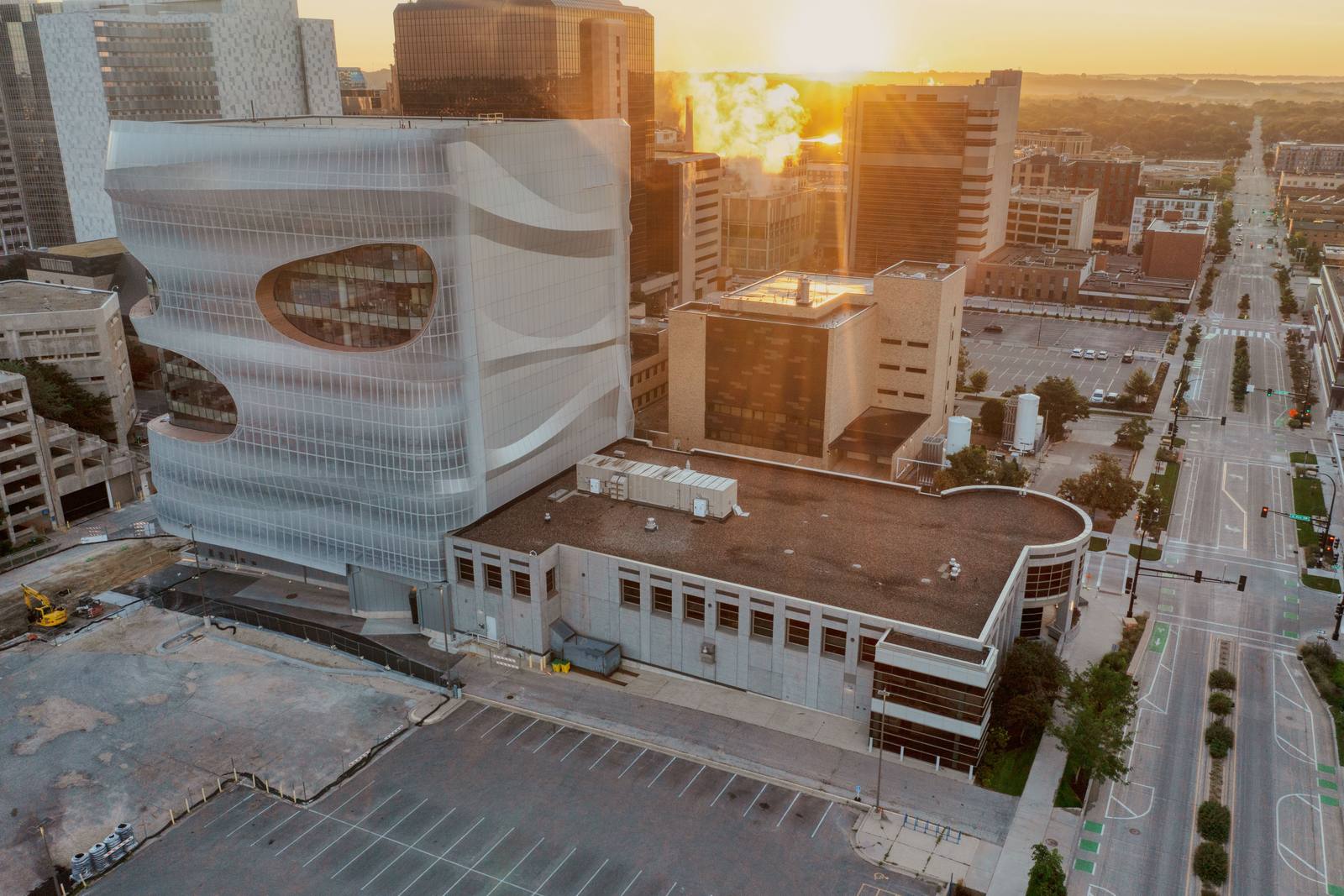
Commercial property documentation
Organized aerial photos of roofs, exteriors, parking areas, and site conditions for owners and property managers.
What you receive
A useful deliverable, not just a flight.
Before I fly, we agree on what you need to see and how the files should be delivered. That keeps the job practical and prevents paying for data you won’t use.
- High-resolution standard photos
- Thermal images when the project calls for them
- Files organized by area, viewpoint, or date
- A concise PDF summary for inspection-style work
- Clear notes about what the imagery can and cannot establish
How it works
Simple enough to explain in four steps.
Quick conversation
You tell me the location, property type, and what decision the imagery needs to support.
Scope and weather window
I confirm the flight area, deliverables, price, and any weather or thermal conditions we need.
Flight and documentation
I capture the agreed views and check coverage before leaving the site.
Organized delivery
You receive the photos, maps, or report in the format we agreed on.
Owner & pilot
A small local operation
You’ll work directly with the person flying the job.
Driftless Thermal Services is based in the La Crosse area. I started it to provide practical aerial documentation for roofs, construction sites, and commercial properties—not to sell a complicated “drone solution” where a clear set of photos would do the job.
I fly a DJI Matrice 4T and hold an FAA Part 107 remote pilot certificate. For thermal projects, I document visible temperature patterns and likely areas of concern. I do not present thermal imagery as a diagnosis, engineering opinion, roofing determination, or certified thermography report.
Start with the basics
Tell me what you need documented.
A short description, approximate location, and preferred timing is enough to start. I’ll reply with questions, availability, and a straightforward scope.