Stitched overhead site imagery
Aerial maps and orthomosaics
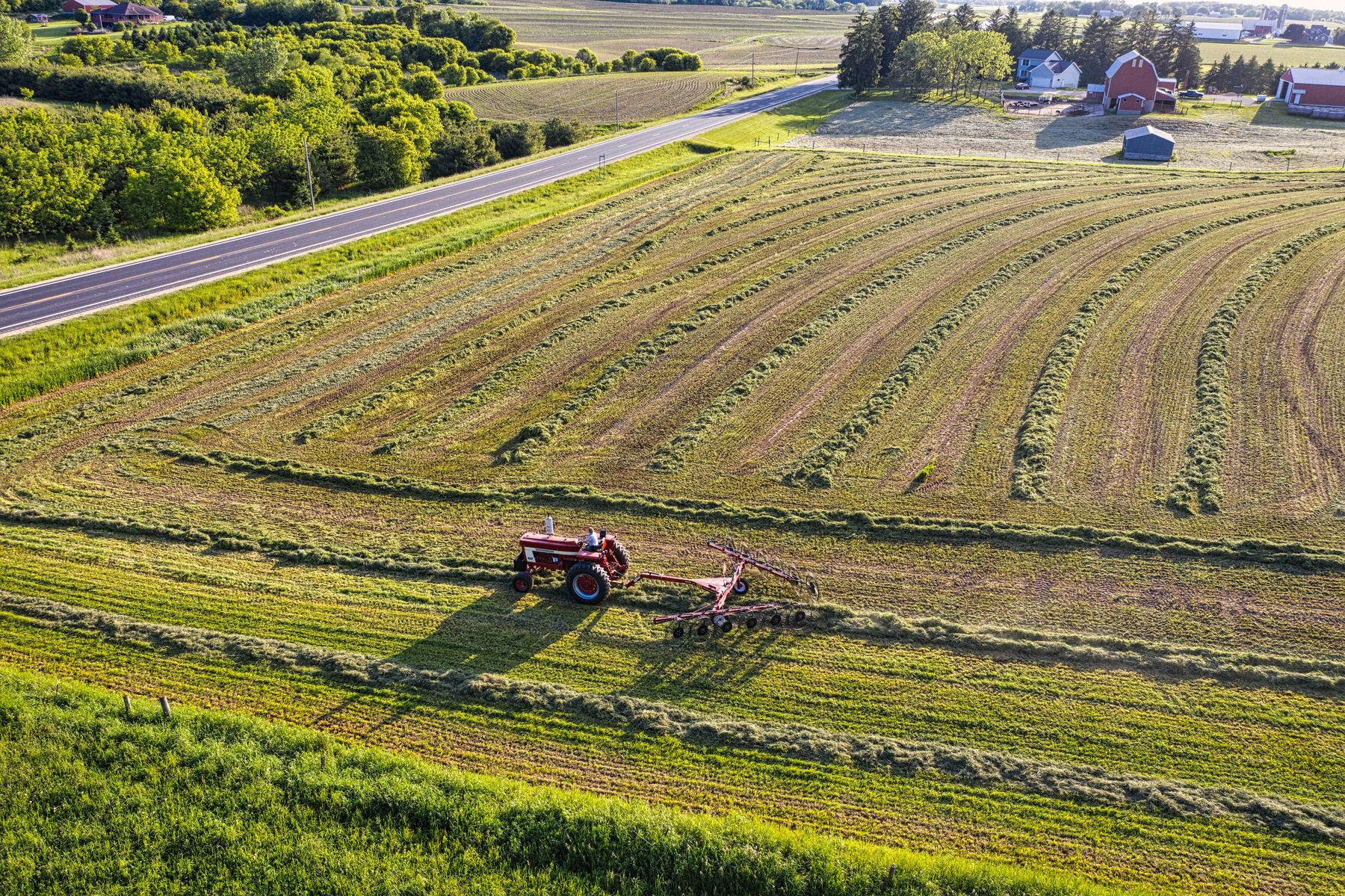
An orthomosaic combines many overlapping drone photos into one top-down image. It is useful for seeing a whole property or jobsite in a single file and keeping a dated visual record.
The practical version
What this service is—and what it isn’t
I use mapping when a collection of individual photos would be hard to understand. The output is especially useful for roofs, construction sites, land, and commercial properties where an overall view matters.
A good fit for
- Site planning and visual reference
- Roof and property layouts
- Construction and land documentation
- Comparing the same area over time
Important limits
- This is not a licensed boundary survey
- Measurements depend on flight conditions and processing method
- Dense trees and reflective surfaces can reduce quality
- Legal property lines are not established by the map
Deliverables
What you receive
A high-resolution stitched top-down image of the agreed area.
A smaller JPG or PDF that is easy to share.
Additional map files can be provided when agreed in advance.
Scheduling
The flight is planned around the job—not the other way around.
Mapping requires a defined boundary and enough overlap between images. I’ll review the area and confirm whether the site is a good fit before quoting.
Questions
Common questions
Can I use this as a survey?
No. A licensed surveyor is required for boundary and legal survey work.
Can you measure areas or distances?
Approximate measurements may be possible, but I’ll state the expected accuracy and limitations before the project.
Can you map a wooded property?
The map can show the visible canopy and openings, but standard photogrammetry will not see through dense trees to the ground.
Request a quote
Start with the address and what you need to see.
I’ll review the site, ask any needed questions, and reply with a practical scope.